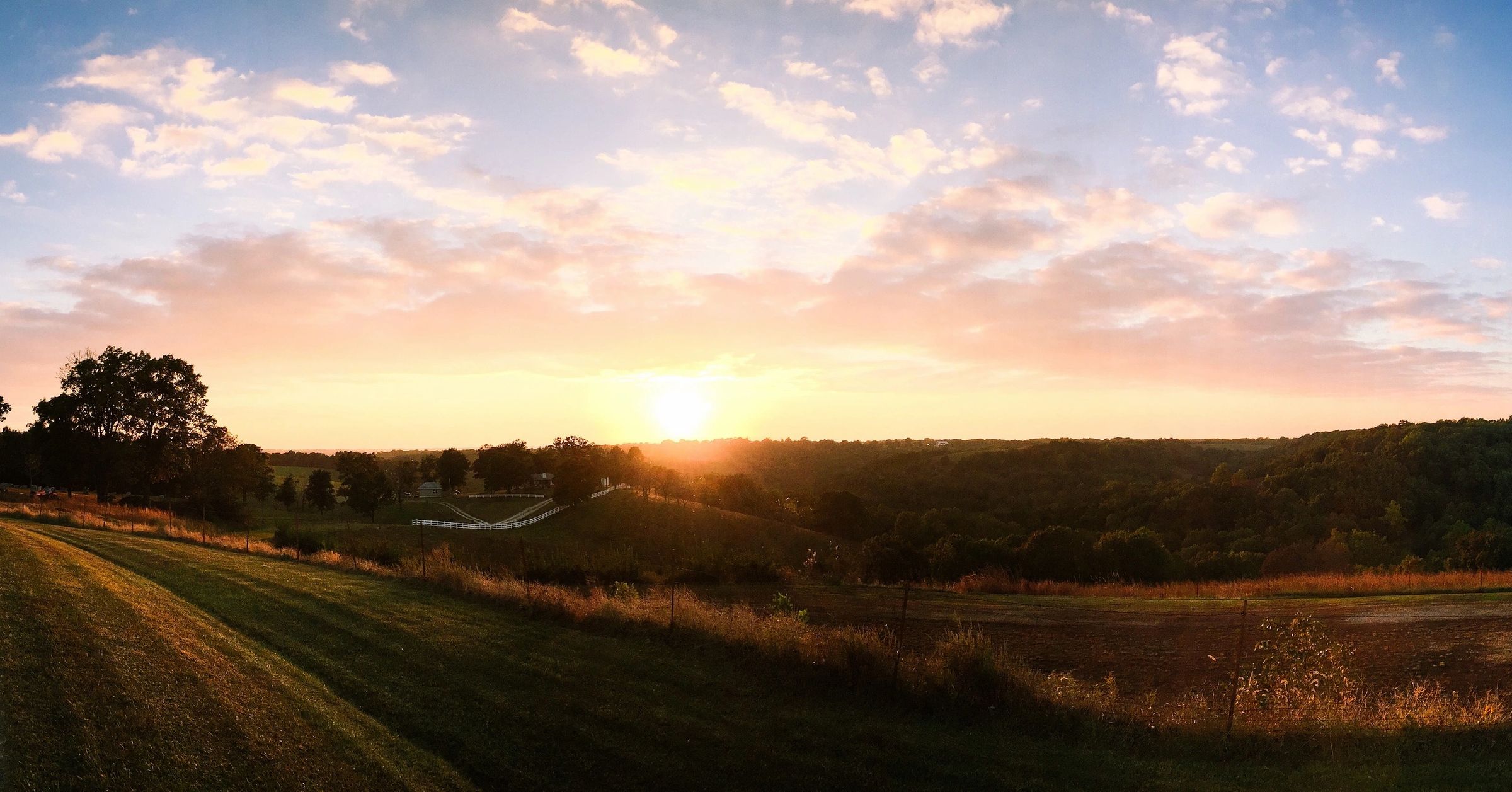
Have you ever stood at the ocean and stared at the horizon, wondering just how far you were looking? If so, there’s no need to wonder anymore – using a complicated algebraic equation, scientists are able to accurately calculate precisely how far one can see from a level plain… sadly, just to put it bluntly, I find the results to be rather disappointing. As a child, I would spend most of the time during our family’s week-long beach vacations to Virginia Beach feverishly studying the Atlantic in hopes of spotting just a tiny glimpse of Europe!
According to scientists, however, all of this looking was in vain. A person who is 6-ft. tall (which I definitely wasn’t as a child!) and standing right at the water’s edge (with their eyes located roughly 5 ½-ft. above the surface can only see for a distance of approximately three miles. So much for spotting Europe, which is some 3,400 miles away!
However, every additional inch in height adds about 0.045 miles of sight of the horizon, meaning that someone standing at the mast of a ship 25-ft. above sea level will be able to see roughly 12 miles and vice versa, a ship standing 25-ft. above the sea will be visible from land at 12 miles – it is for this reason that the international community has declared 12 miles from a nation’s shoreline to be that nation’s territorial waters.
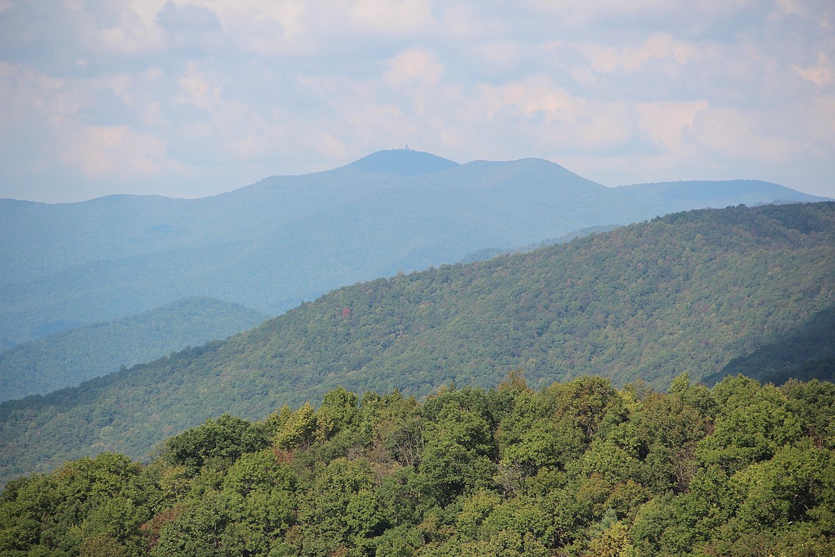
But if you’re hoping to see from a distance much farther than this, you’re going to have to travel inland quite a bit – to the mountains of Appalachia!
Though the State of Georgia is more known for its historical significance and as being the capital of the emerging New South, North Georgia also boasts of mountaintop vistas that rival the very best Tennessee and West Virginia have to offer.
Located just miles from the North Carolina Stateline, Georgia’s Brasstown Bald is the highest elevation in the 59,000+ square mile Peach State, reaching up to a height of 4,784 ft. above sea level.
“Balds” are a common term throughout Appalachia used to describe mountain tops that are clear of trees and offer a 360-degree panoramic view of the world beneath.
According to Georgia’s historical markers, the area surrounding Brasstown Bald was settled by the Cherokee people, and the name “Brasstown” is actually a misinterpretation of the mountain’s Cherokee name.
As English translators attempted to translate the mountain’s Cherokee name, “Itse’yĭ”, which means “New Green Place” or “Place of Fresh Green”, they erroneously confused the word “Itse’yĭ” with “Ûňtsaiyĭ”, which means “brass”. Thus what would’ve, could’ve, should’ve been “New Green Bald” became instead “Brasstown Bald”.
Interestingly, the Cherokees have a flood legend that is strikingly similar to the Biblical story of Noah.
In this Cherokee account, the community of Itse’yĭ was swept over by a great flood that covered all the land. All the people died except a few Cherokee families who sought refuge in a giant canoe. The canoe ran aground at the summit of a forested mountain (now known as Itse’yĭ). As there was no wild game for the people to hunt and no place for them to plant crops, the Great Spirit killed all the trees on the top of the mountain so that the surviving people could plant crops. They continued planting and living from their crops until the water subsided.
Serving as the highest elevation in a state not particularly known for its skyscraping mountaintops gives Brasstown an advantage in providing those who reach its top breathtaking views well beyond mountains of similar heights.
On a clear day atop Brasstown Bald, visitors can see four different states: Georgia (obviously), North Carolina, Tennessee and South Carolina. Even more fascinating, however, is that on days when conditions are perfect, the city of Atlanta, which is 85 miles and seven counties to the southwest can be visible – with particular buildings even being identifiable.
A warning to anyone interested in visiting: The gates to Brasstown Bald will be closed in inclement weather. Call before your visit to confirm that facilities are open and to confirm directions. Sometimes GPS devices can be inaccurate.


